The National Oceanic and Atmospheric Administration (NOAA) is one of the oldest government agencies in the United States. The agency works tirelessly to protect life and property from severe weather. Not only do they fly directly into hurricanes and track tsunamis, they also work on conservation through tasks like coral reef rehabilitation and whale tracking.
Furthermore, NOAA keeps our waters protected and ensures that commercial fishing remains sustainable. Let’s talk about 12 ways that NOAA protects our beautiful planet (and the people on it) every single day.
Established by Thomas Jefferson
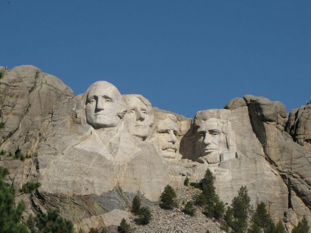
NOAA’s history traces back to the U.S. Coast and Geodetic Survey established in 1807 by Thomas Jefferson, making it one of the oldest scientific agencies in the United States. The country needed detailed maritime charts for safe shipping, defense, and maritime boundaries. Quite an undertaking considering how much coastline we have.
Billions of Free Weather Forecasts
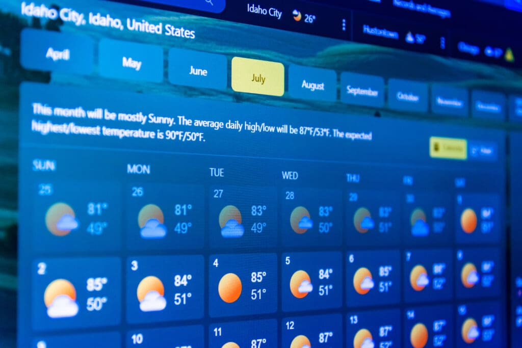
Weather forecasts are freely provided by NOAA. And they provide a LOT. More than one billion free weather forecasts go out every year. Among these free weather forecasts include very important severe weather alerts that saves lives.
Hurricane Hunters

The NOAA Hurricane Hunters are pilots who do what no other pilot would ever want to do — fly into a hurricane. While inside, the Hurricane Hunters can collect critical data about the storm.
Marine Sanctuaries
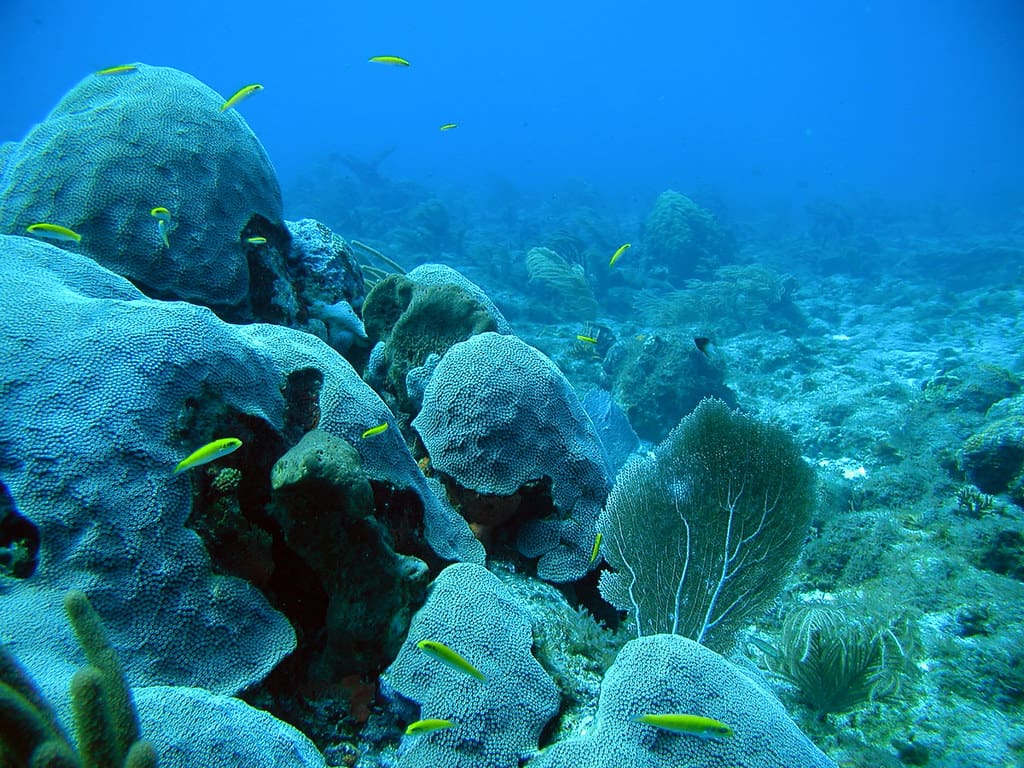
NOAA manages more than a dozen marine sanctuaries to protect diverse and critical marine ecosystems. These protected areas are available for the public to visit and enjoy the beauty of marine ecosystems. If you can’t go in person, NOAA also has virtual reality tours.
Sustainable Fishing
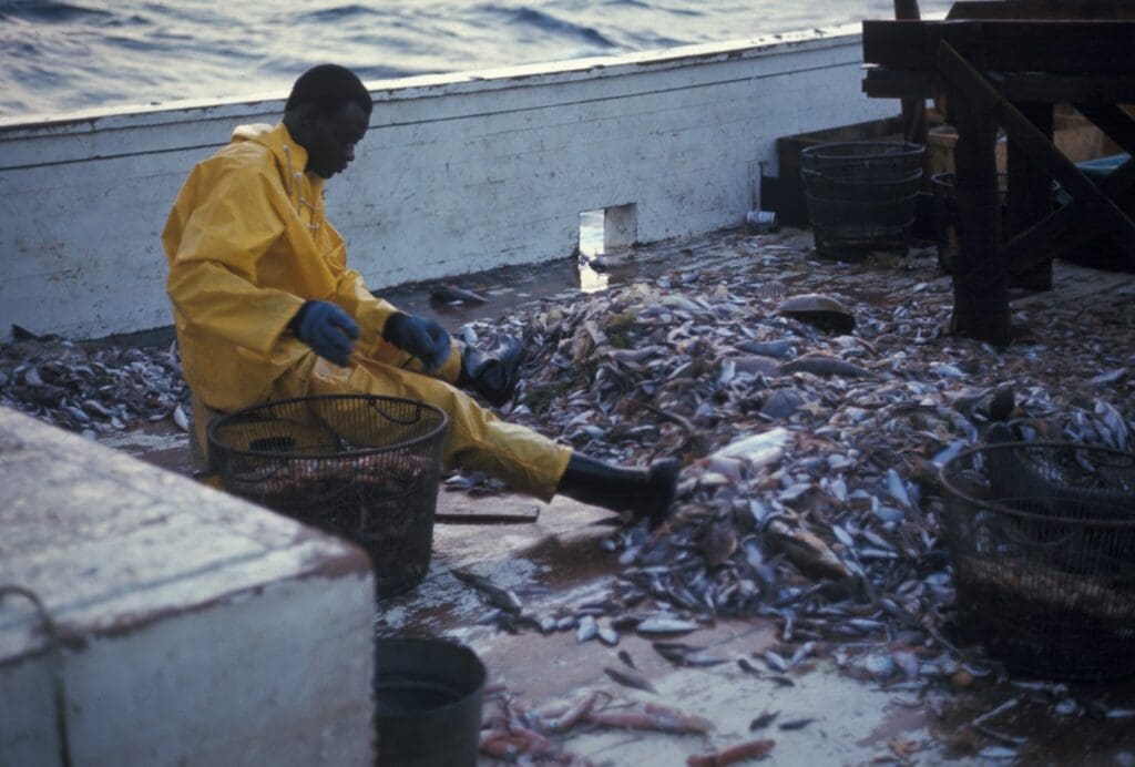
NOAA works to regulate fishing practices through its National Marine Fisheries Service. Not every fisherman is a fan of regulations, but the work ensures that the seafood sources are sustainable.
Historical Archives
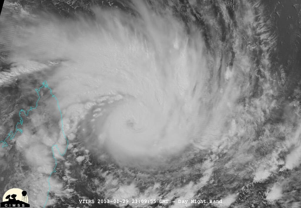
NOAA’s National Centers for Environmental Information does the work of archiving weather data… stretching all the way back to the 1800s. This data is invaluable to understanding climate and weather trends. Maintaining this database and adding to it every day is important data to collect.
Tsunami Warning
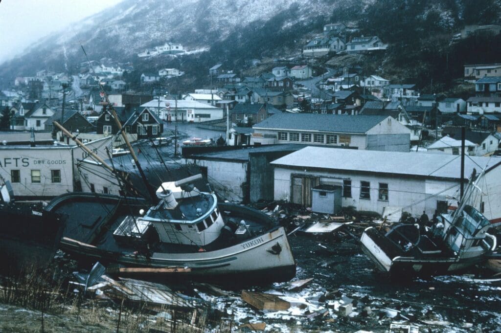
NOAA’s Tsunami Warning Centers constantly monitor for seismic activity and other indicators to provide the critical warning system when tsunamis happen. And they’re not just monitoring the area around the US, they’re monitoring globally.
Coral Reef Monitoring
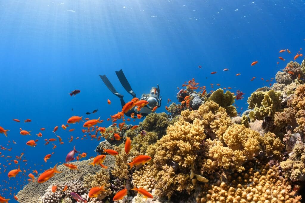
Coral reefs are some of the most endangered ecosystems on the planet, and they need to be protected. NOAA does the critical work of researching and even restoring reefs when possible. NOAA’s Fisheries actually plant nursery-grown corals back onto reefs.
El Niño and La Niña Research
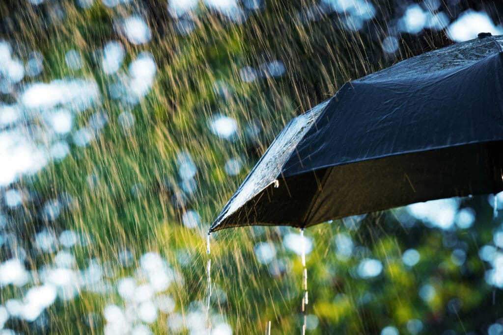
NOAA monitors and studies the El Niño and La Niña climate patterns, which have significant impacts on global weather, agriculture, and economies. By tracking these patterns, NOAA helps predict shifts in rainfall, droughts, and extreme temperatures worldwide, allowing peoples to prepare for potential disruptions in crop yields, water resources, and even energy production.
Massive Buoy Network
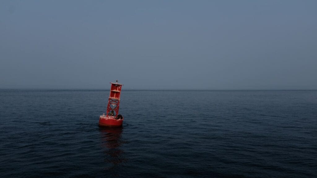
NOAA operates a massive network of buoys globally that monitor ocean conditions like temperature, salinity, and wave height, crucial for ocean and weather forecasting. These buoys give real-time data that help scientists detect changes in ocean currents and predict severe storms.
Wildfire Smoke Tracking
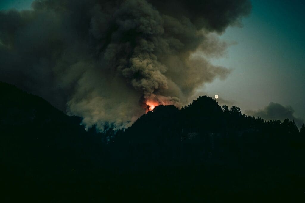
Wildfire smoke can drift incredibly long distances and affect people far away from the actual blaze. NOAA has satellites and monitoring systems that are used to track wildfire smoke and air quality. This critical data is passed along to protect public health.
Ocean Exploration
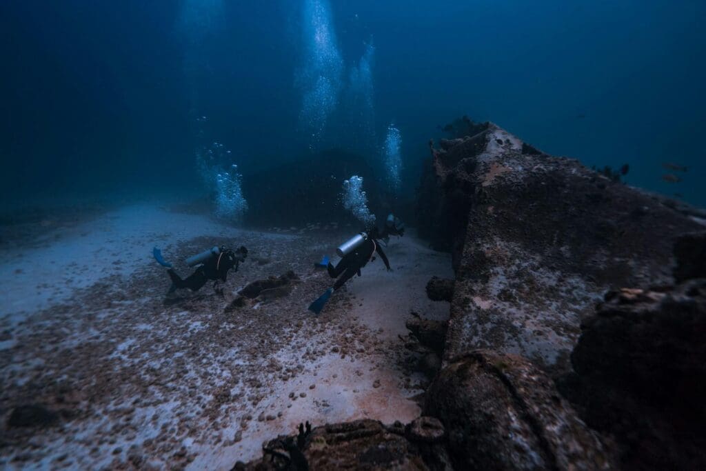
NOAA’s Office of Ocean Exploration and Research does exactly what you would expect. They explore the deep sea for research. They map the ocean floor, investigate underwater ecosystems, and discover new species of marine life.
Related: Each State Ranked by Drinking Water Quality
The GOES Satellites
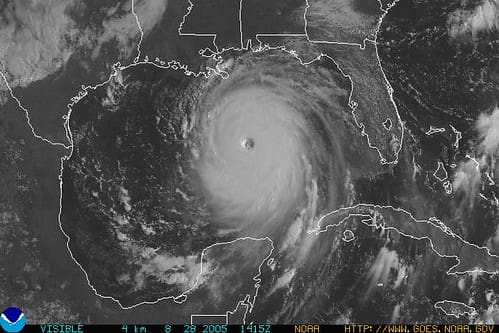
Tracking weather patterns in real time allows meteorologists to make better predictions and warnings. NOAA’s Geostationary Operational Environmental Satellites (GOES) provide images every five minutes which makes tracking almost in real-time. These high-resolution images are essential for monitoring severe weather events like hurricanes, thunderstorms, and wildfires.
Related: NASA Plans to Launch a Wooden Satellite Next Year
Space Weather Forecasting
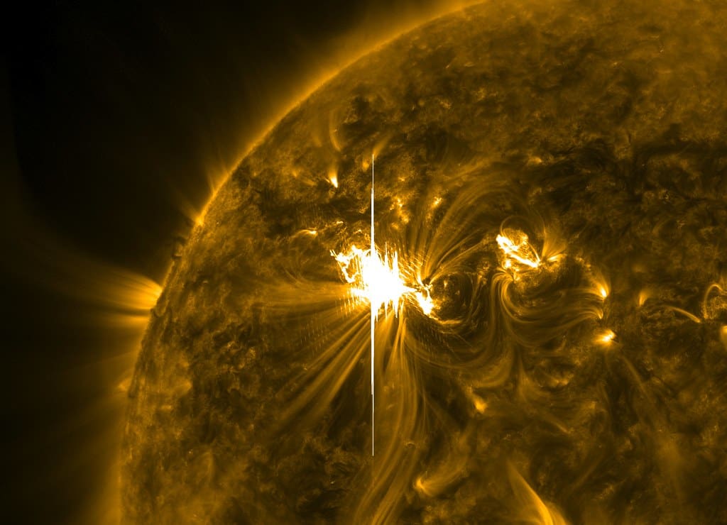
Solar storms can impact satellites, GPS, and power grids — something that could truly be disastrous if we were caught unawares. Lucky for us, NOAA’s Space Weather Prediction Center keeps an eye on solar activity. With enough warning, systems can be protected from solar storms.
Related: 10 Things To Know About This Aries/Libra Eclipse Season


